EVENT REPORT
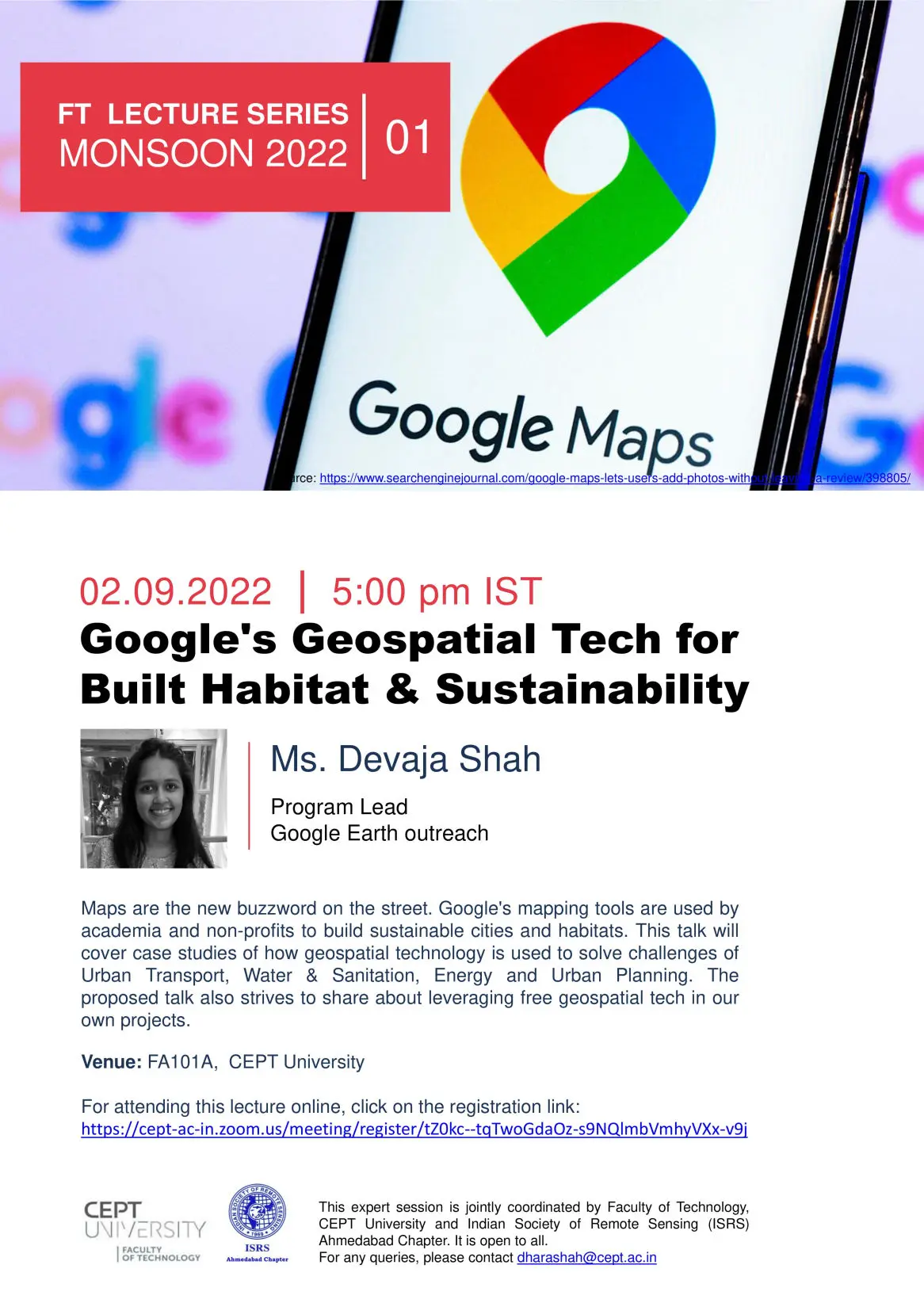
FT LECTURE SERIES MONSOON 2022 – LECTURE-01
2nd - SEPTEMBER-2022
Faculty of Technology (FT), CEPT University, Ahmedabad, has initiated a lecture series known as the FT Knowledge series for the monsoon semester of 2022. Under this umbrella, experts from diverse arenas are invited, which will benefit FT and CEPT students, further broadening academicians and industry relations.
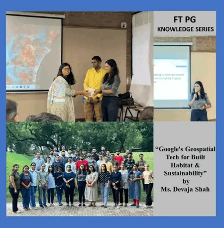
In the first expert session of this series, Ms. Devaja Shah, Program lead, Google Earth Outreach, was invited. The Faculty of Technology, CEPT University, and the Indian Society of Remote Sensing (ISRS) Ahmedabad chapter jointly coordinated the session. The session was held in hybrid mode so that the online audience could benefit from it.
Devaja Shah is a Program Manager at Google and has been leading Google's Geo for Good program in India for the last five years. The Geo for Good program under Google Earth Outreach has helped 300+ civil society organizations use free mapping technology to solve climate change, resulting in many impact stories of climate interventions and citizen movements on the ground. Devaja's background before google is in Information and communication technology, followed by a fellowship with the school for social entrepreneurs.
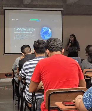
The session started with an introduction to different tools and software that google provides for the purpose of mapping and analysis, like My Maps, Google Earth, and Google Earth Engine.
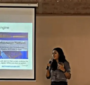
Case studies of how geospatial technology and the My Maps tool have been used to solve challenges of urban transport, water & sanitation, energy, and urban planning were discussed. Insights on the emerging functionalities of Google Earth, like 3D maps of planes and custom story maps, were discussed, and how these functionalities have been used to communicate about different projects the community has done. Towards the end of the session, Ms. Devaja gave a brief introduction to one of the most talked about platforms in recent times, which is Google Earth Engine. Google Earth Engine is a cloud-based geospatial analysis platform that contains petabytes of data from diverse themes of surface temperature, weather, etc, to multispectral images. A case study of how the datasets present in the google earth engine were utilized to map and analyze the urban heat islands of Mumbai was discussed. The lecture was concluded with a Q&A session and a vote of thanks.